
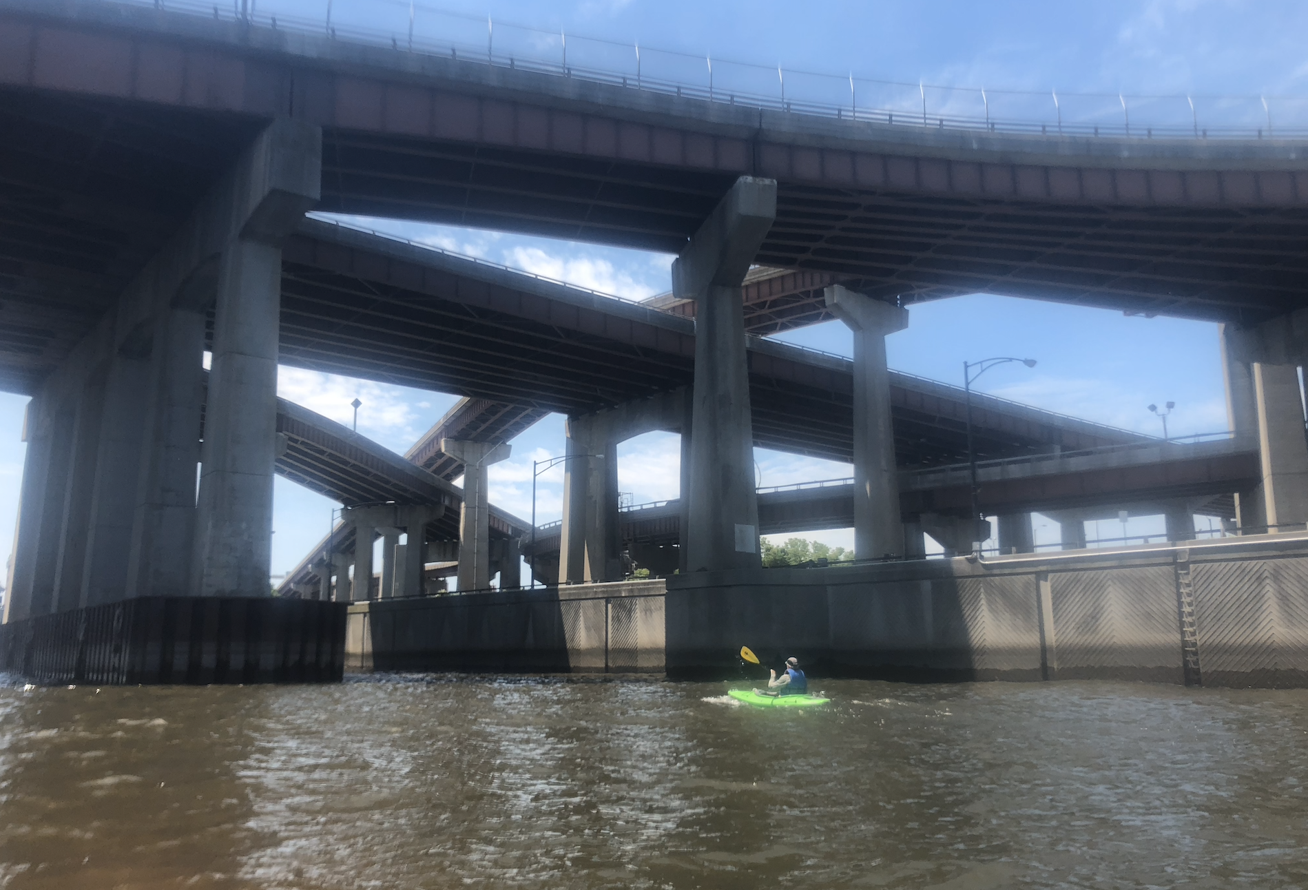
NYS DOT has released the final PEL Report (Planning and Environmental Linkages), and they are in Pre-EIS phase (Environmental Impact Statement).
We (all impacted communities) have about 2 years to inform the work before plans become final.
2 short years.
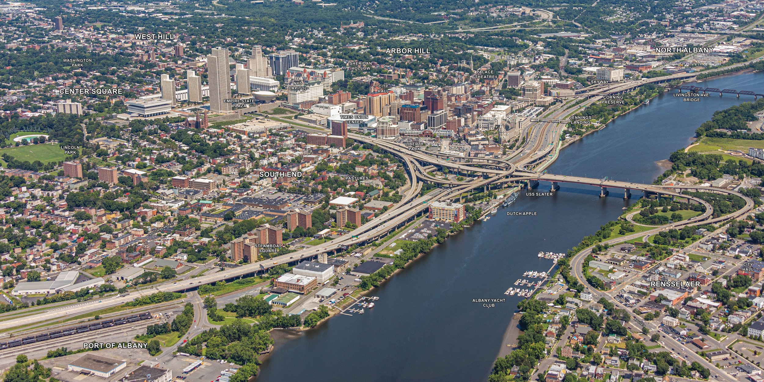
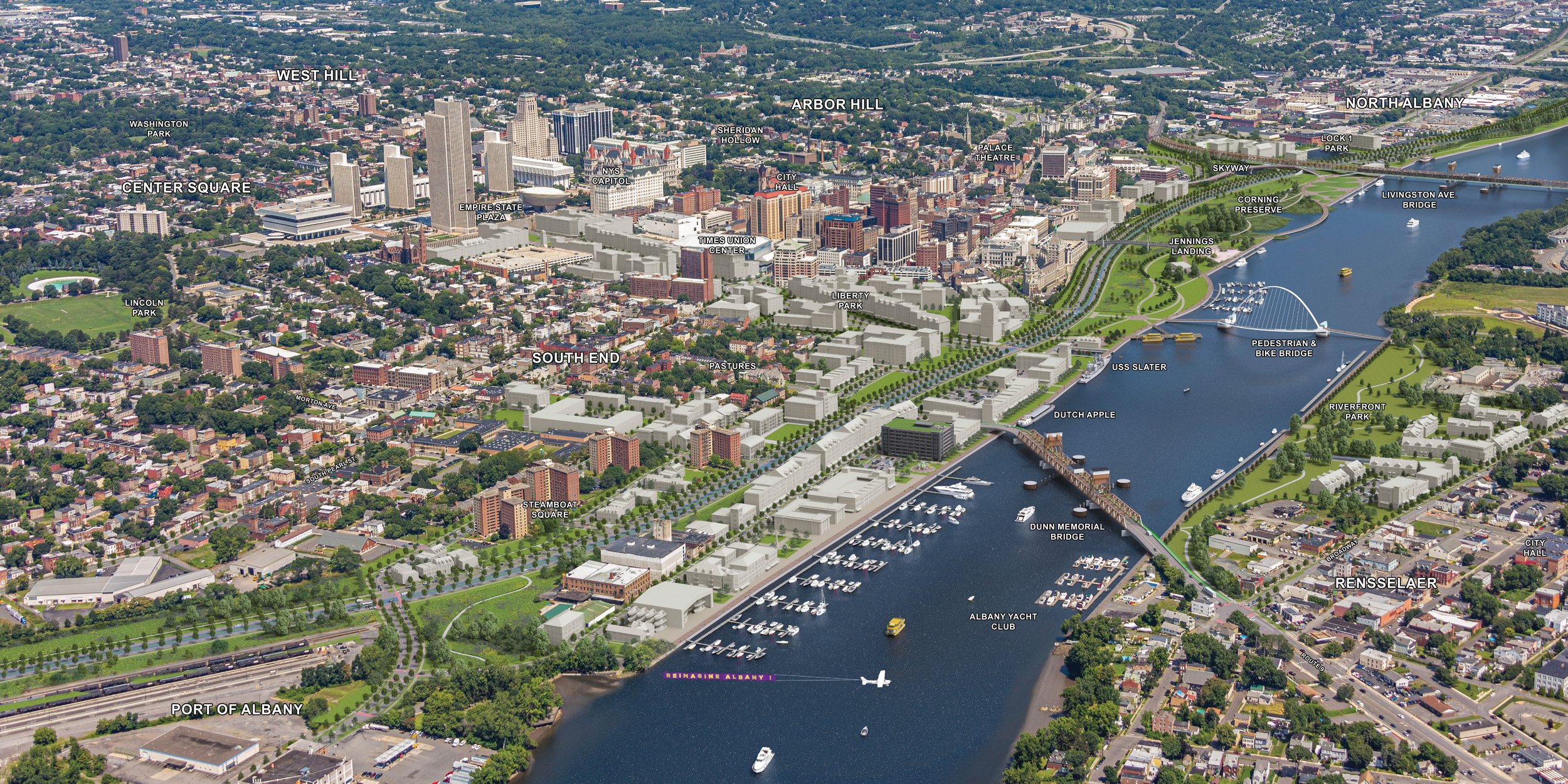

Design and Community
The Albany Riverfront Collaborative, in collaboration with many Capital District organizations in the ReImagine Albany Coalition, has long sought to invite input from those who have been most impacted by I-787’s existence. We have actively put our mission to “engage our complete community in the creation of an equitable, sustainable, beautiful, forever-vision, and the initial, iterative steps toward this vision” at the forefront, and we have so much more work to do on our own processes and on more fully connecting with Albany residents.
We continue to seek your comments and ideas and to facilitate the steps toward turning our collective future-vision into reality in which to thrive. Help us continue to evolve our work, and better serve as a humble guide for what an equitable, sustainable, and transformative Albany can look like.
Below, we have included some of the ideas that will continue to be explored in statewide planning process of NYS DOT.
And we need to continue to voice these transformations and develop our own thinking on how to get there. Reach out to us at info@albanyriverfrontcollaborative.org and ask about the work on a Community Benefit Ordinance, which we and ReImagine Albany see as step one in lifting up all of our neighbors in any future development opportunities.
- Albany Riverfront Collaborative Board of Directors. 2026
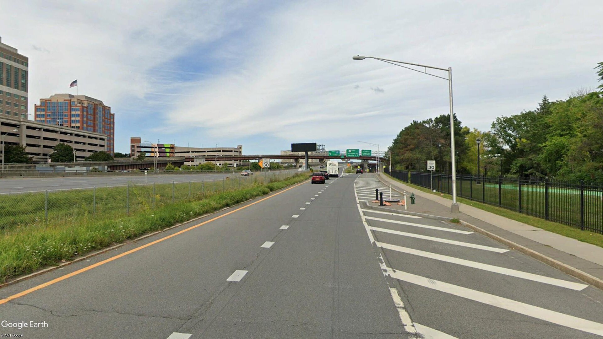
By lowering the South Mall Expressway to an at-grade boulevard, the South End can be visually and physically reconnected to Downtown. This begins to heal the systemic injustices of the past.
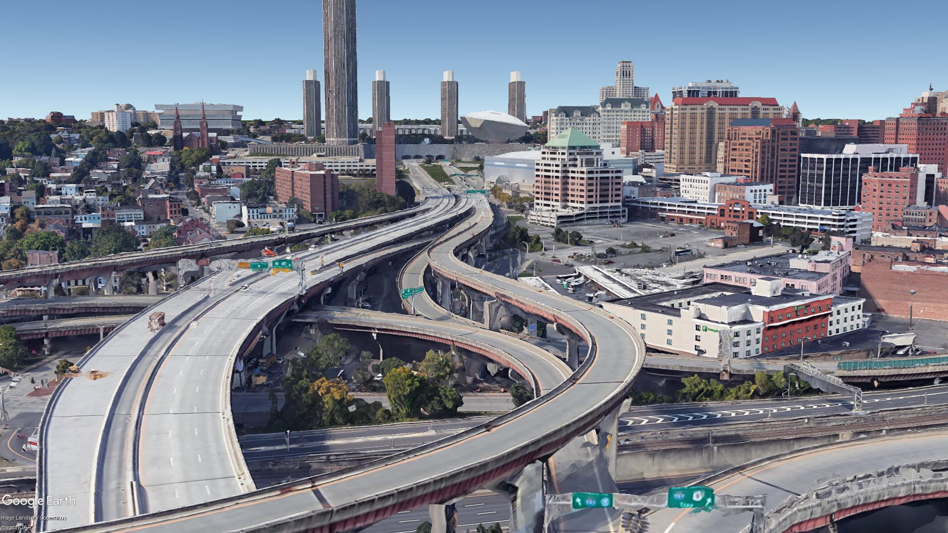
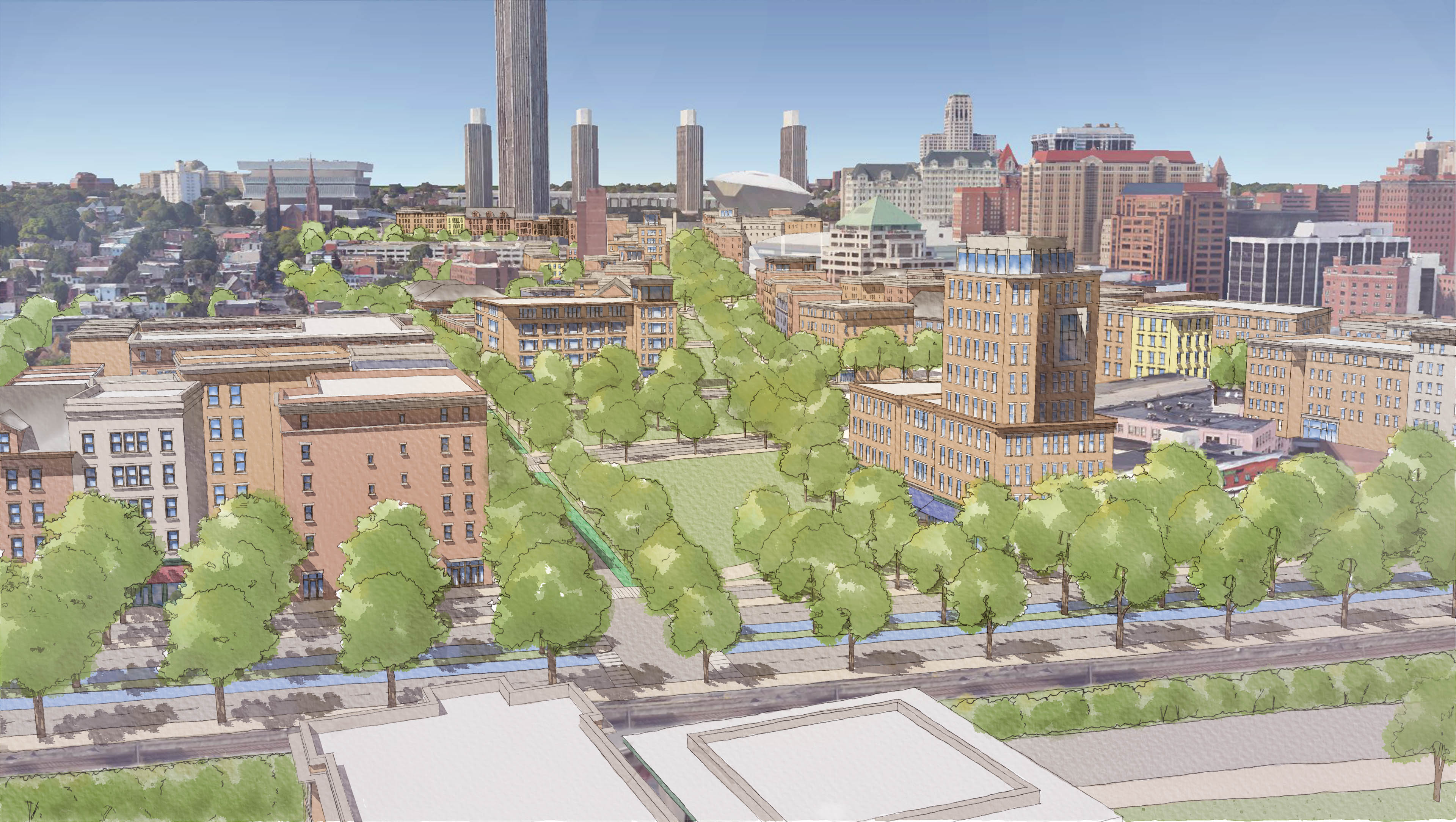
Concept Sketch- South Mall Expressway reconstructed as an at-grade boulevard beginning at Broadway


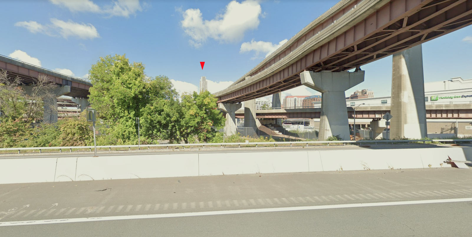
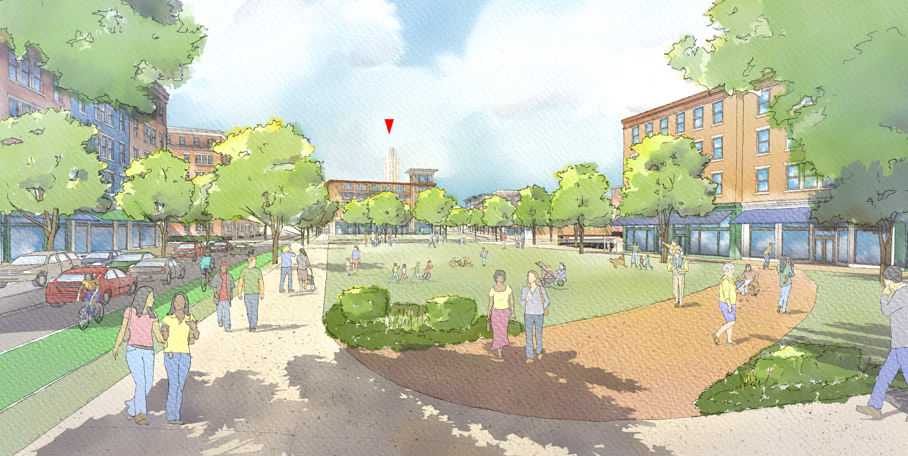
Concept Sketch - The view of the Corning Tower from the new boulevard
By removing the highway, the city can become a safe city for humans first, and cars second.
-
![]()
92 acres
Unlocked on both sides of the river, in the form of greenspace, development, walking paths, and waterfront.
-
![]()
73,500 tons of concrete
Removed, in the form of 980,000 sq ft of South Mall Arterial connector, which cleaved the South End neighborhood from the rest of the city.
-
![]()
$2 Billion
In the new Infrastructure Investment and Jobs Act (HR 3684) for projects like the reimagining of I-787, as part of the “Reconnecting Communities” pilot project.
-
![]()
$3.5 Billion
Cost of maintaining I-787 in a "state of good repair" over the next 30-40 years.
-
![]()
35,000 tons of CO2e
Emitted annually by traffic along a 4-mile stretch of I-787 which could be mitigated drastically by improved public transportation, new greenspace, and a boulevarded highway.
-
![]()
4.2 miles
Of new riverfront coastline made accessible to all the citizens of Albany.
-
![]()
6,500 trees
Planted where a highway once used to be.
-
![]()
$302 million
Total fiscal benefits of the project over next 20 years, including $178m in property tax, and $124m in sales tax.
-
![]()
6.1 million sq ft
In new potential residential and commercial development.
-
![]()
3,143 jobs
To construct the project, including 2,581 direct, on-site construction and 562 indirect jobs, generating $155 million in wages.

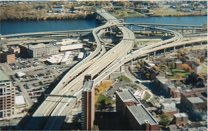


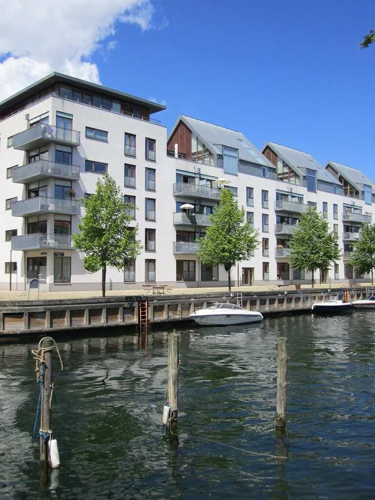

By increasing green space along the Hudson River, we add to resilience regarding flooding and open opportunities for local food, education, and activity. A flexible river basin is stronger and adaptive in the face of a changing planet.
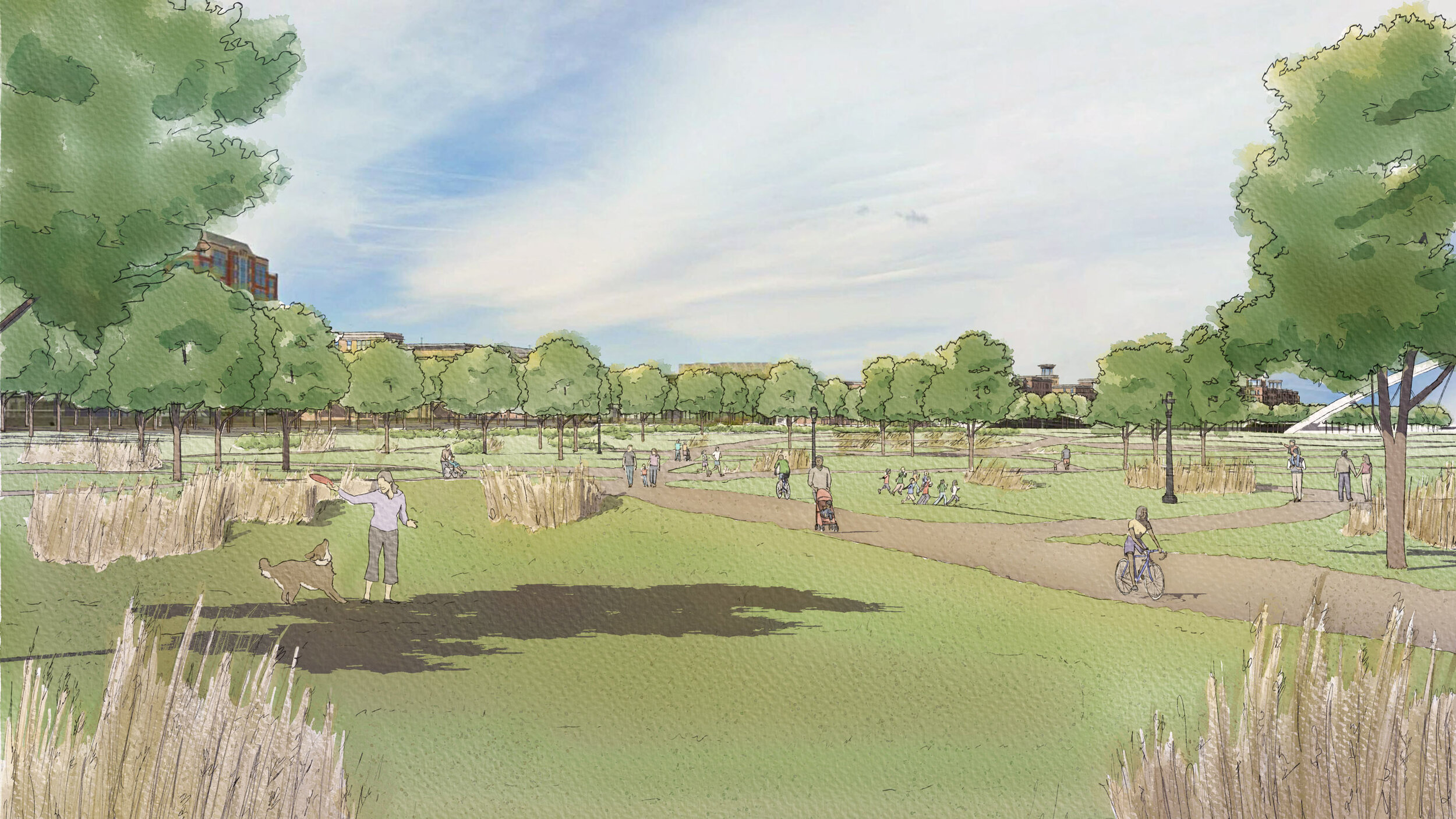
Concept Sketch - Looking north from the expanded Corning Trail
